 vesseltracker.com
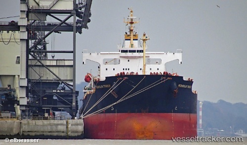
 AMO
AMO
Current Status
Where is the vessel?
AMO is currently in 38 nm S of Mount Pleasant, based on AIS data received about 1h ago.
Latest AIS update:
Current position: 34.62832° S, 25.43120° E (38 nm S of Mount Pleasant)
Average speed (last 7 days): Loading…
Average speed (last 30 days): Loading…
Vessel profile: AMO is a Bulk Carrier with dimensions m x m.
This page combines live AIS, route history, probable destination signals, nearby traffic, and port activity for practical vessel monitoring.
The current position of vessel AMO is -34.62832 lat / 25.43120 lng. Updated: 2026-05-02 17:40:30 UTCNearest reference points:
- 21 nm S of Mount Pleasant
- Near Deal Party
Currently sailing under the flag of Marshall Islands ![]()
Details:
Live Vessel AMO Analytics (details, animations, etc.)
Recent AIS points (UTC):
2026-05-02 14:27:07 UTC · -34.67853, 25.07815 · SOG 5.8 kn · COG 83°2026-05-02 15:43:20 UTC · -34.65938, 25.23020 · SOG 5.8 kn · COG 81°
2026-05-02 17:02:41 UTC · -34.63608, 25.37200 · SOG 4.9 kn · COG 107°
2026-05-02 17:40:30 UTC · -34.62832, 25.43120 · SOG 4.9 kn · COG 82°