 vesseltracker.com
 OCEAN MARY
Current Status
Where is the vessel?
OCEAN MARY is currently in 112 nm SW of Moho Bilondo, based on AIS data received about 1h ago.
Latest AIS update:
Current position: 7.58429° S, 9.41748° E (112 nm SW of Moho Bilondo)
Average speed (last 7 days): Loading…
Average speed (last 30 days): Loading…
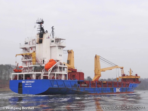
Vessel profile: OCEAN MARY is a General Cargo with dimensions m x m.
This page combines live AIS, route history, probable destination signals, nearby traffic, and port activity for practical vessel monitoring.
The current position of vessel OCEAN MARY is -7.58429 lat / 9.41748 lng. Updated: 2026-05-14 17:21:34 UTCNearest reference points:
- Near N'Kossa Terminal
Currently sailing under the flag of Barbados ![]()
Details:
Live Vessel OCEAN MARY Analytics (details, animations, etc.)
Recent AIS points (UTC):
2026-05-14 14:07:08 UTC · -7.31352, 9.19581 · SOG 6.9 kn · COG 147°2026-05-14 16:07:35 UTC · -7.48223, 9.33158 · SOG 6.6 kn · COG 144°
2026-05-14 16:17:56 UTC · -7.49677, 9.34366 · SOG 6.8 kn · COG 145°
2026-05-14 17:21:34 UTC · -7.58429, 9.41748 · SOG 6.4 kn · COG 141°