 vesseltracker.com
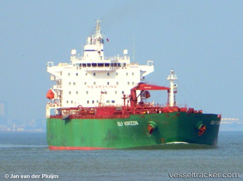
 JAG SPARROW
Current Status
Where is the vessel?
JAG SPARROW is currently in 40 nm NW of ANDENES, based on AIS data received about 1h ago.
Latest AIS update:
Current position: 69.87907° N, 15.08813° E (40 nm NW of ANDENES)
Average speed (last 7 days): Loading…
Average speed (last 30 days): Loading…
Vessel profile: JAG SPARROW is a Oil Products Tanker with dimensions m x m.
This page combines live AIS, route history, probable destination signals, nearby traffic, and port activity for practical vessel monitoring.
The current position of vessel JAG SPARROW is 69.87907 lat / 15.08813 lng. Updated: 2026-05-14 11:39:54 UTCNearest reference points:
- 52 nm NW of Ersfjord
- Near Eidet
- Near Sigerfjord
Currently sailing under the flag of Bahamas ![]()
Details:
Live Vessel JAG SPARROW Analytics (details, animations, etc.)
Recent AIS points (UTC):
2026-05-14 08:25:55 UTC · 70.34699, 16.56553 · SOG 11.4 kn · COG 218°2026-05-14 10:10:25 UTC · 70.09155, 15.77522 · SOG 13.1 kn · COG 224°
2026-05-14 10:39:34 UTC · 70.01940, 15.54922 · SOG 12.9 kn · COG 228°
2026-05-14 11:39:54 UTC · 69.87907, 15.08813 · SOG 12.7 kn · COG 226°