 vesseltracker.com
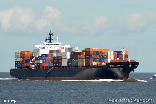
 SYDNEY TRADER
Current Status
Where is the vessel?
SYDNEY TRADER is currently in Near Myrtos Beach, based on AIS data received about 17d ago.
Latest AIS update:
Current position: 38.33120° N, 20.54707° E (Near Myrtos Beach)
Average speed (last 7 days): Loading…
Average speed (last 30 days): Loading…
Vessel profile: SYDNEY TRADER is a Container Ship with dimensions m x m.
This page combines live AIS, route history, probable destination signals, nearby traffic, and port activity for practical vessel monitoring.
The current position of vessel SYDNEY TRADER is 38.33120 lat / 20.54707 lng. Updated: 2026-04-27 14:50:32 UTCNearest reference points:
- Near Meganísi
- Near Nidhríon
- Near LEFKADA
Currently sailing under the flag of Malta ![]()
Details:
Live Vessel SYDNEY TRADER Analytics (details, animations, etc.)
Recent AIS points (UTC):
2026-04-27 14:50:32 UTC · 38.33120, 20.54707 · SOG 0 kn · COG -1°