 vesseltracker.com
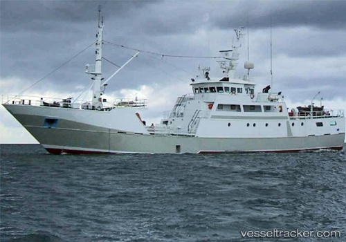
Playa Zahara
Current StatusWhere is the vessel?
Playa Zahara is currently in 220 nm S of Makeni, based on AIS data received about 110d ago.
Latest AIS update:
Current position: 27.89903° S, 173.26706° E (220 nm S of Makeni)
Average speed (last 7 days): Loading…
Average speed (last 30 days): Loading…
Vessel profile: Playa Zahara is a Fishing Vessel with dimensions 9m x 47m.
This page combines live AIS, route history, probable destination signals, nearby traffic, and port activity for practical vessel monitoring.
The current position of vessel Playa Zahara is -27.89903 lat / 173.26706 lng. Updated: 2026-01-05 06:25:18 UTCDetails:
Live Vessel Playa Zahara Analytics (details, animations, etc.)
Recent AIS points (UTC):
2026-01-05 06:25:18 UTC · -27.89903, 173.26706 · SOG 7.1 kn · COG 216°