 vesseltracker.com
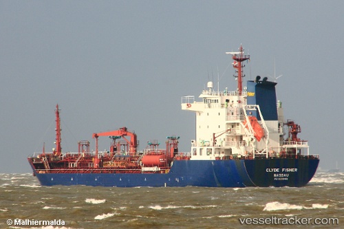
 CLYDE
CLYDE
Current Status
Where is the vessel?
CLYDE is currently in Near ANNAMARIA A, based on AIS data received less than 1h ago.
Latest AIS update:
Current position: 44.27661° N, 13.26361° E (Near ANNAMARIA A)
Average speed (last 7 days): Loading…
Average speed (last 30 days): Loading…
Vessel profile: CLYDE is a Oil/Chemical Tanker with dimensions m x m.
This page combines live AIS, route history, probable destination signals, nearby traffic, and port activity for practical vessel monitoring.
The current position of vessel CLYDE is 44.27661 lat / 13.26361 lng. Updated: 2026-05-17 21:42:05 UTCNearest reference points:
- Near IVANA C
- Near Fano
- Near Gabicce Mare
Currently sailing under the flag of Barbados ![]()
Details:
Live Vessel CLYDE Analytics (details, animations, etc.)
Recent AIS points (UTC):
2026-05-17 18:07:25 UTC · 43.88526, 14.00643 · SOG 11.3 kn · COG 295°2026-05-17 19:30:01 UTC · 44.03387, 13.71517 · SOG 11 kn · COG 304°
2026-05-17 20:09:34 UTC · 44.10646, 13.57738 · SOG 11.1 kn · COG 305°
2026-05-17 21:42:05 UTC · 44.27661, 13.26361 · SOG 10.8 kn · COG 300°