 vesseltracker.com
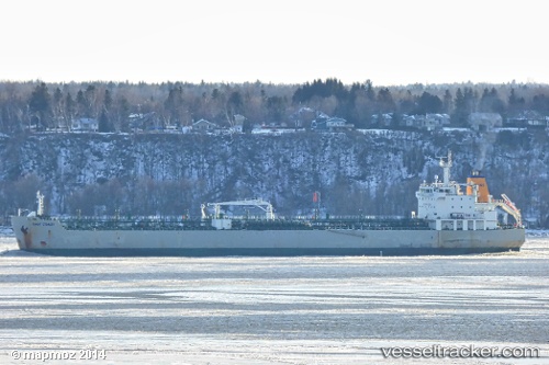
 EAST COAST
Current Status
Where is the vessel?
EAST COAST is currently in 85 nm SW of Polychnitos Lesvou, based on AIS data received about 1h ago.
Latest AIS update:
Current position: 33.48054° N, 24.62461° E (85 nm SW of Polychnitos Lesvou)
Average speed (last 7 days): Loading…
Average speed (last 30 days): Loading…
Vessel profile: EAST COAST is a Oil/Chemical Tanker with dimensions m x m.
This page combines live AIS, route history, probable destination signals, nearby traffic, and port activity for practical vessel monitoring.
The current position of vessel EAST COAST is 33.48054 lat / 24.62461 lng. Updated: 2026-05-15 06:30:57 UTCNearest reference points:
- 67 nm S of Kali Limenes
- Near Kali Limenes
- Near Iraklion
Currently sailing under the flag of Portugal ![]()
Details:
Live Vessel EAST COAST Analytics (details, animations, etc.)
Recent AIS points (UTC):
2026-05-15 04:17:38 UTC · 33.58964, 24.06183 · SOG 13 kn · COG 103°2026-05-15 05:28:57 UTC · 33.53070, 24.35939 · SOG 13.1 kn · COG 104°
2026-05-15 06:30:57 UTC · 33.48054, 24.62461 · SOG 13.5 kn · COG 106°
2026-05-15 06:30:57 UTC · 33.48054, 24.62461 · SOG 13.5 kn · COG 106°