 vesseltracker.com
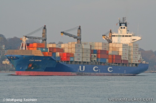
Hsl Porto
Current StatusWhere is the vessel?
Hsl Porto is currently in Near IZOLA, based on AIS data received about 1h ago.
Latest AIS update:
Current position: 45.62319° N, 13.58918° E (Near IZOLA)
Average speed (last 7 days): Loading…
Average speed (last 30 days): Loading…
Vessel profile: Hsl Porto is a Container Ship with dimensions 30m x 208m.
This page combines live AIS, route history, probable destination signals, nearby traffic, and port activity for practical vessel monitoring.
The current position of vessel Hsl Porto is 45.62319 lat / 13.58918 lng. Updated: 2026-05-16 12:19:14 UTCNearest reference points:
- Near LUCIJA
- Near IZOLA
- Near Trieste
Details:
Live Vessel Hsl Porto Analytics (details, animations, etc.)
Recent AIS points (UTC):
2026-05-16 07:40:04 UTC · 45.55319, 13.73470 · SOG 0 kn · COG 87°2026-05-16 09:34:11 UTC · 45.55324, 13.73469 · SOG 0 kn · COG 87°
2026-05-16 10:01:08 UTC · 45.55322, 13.73471 · SOG 0 kn · COG 87°
2026-05-16 12:19:14 UTC · 45.62319, 13.58918 · SOG 9.8 kn · COG 271°