 vesseltracker.com
 ARGEUS
Current Status
Where is the vessel?
ARGEUS is currently in 11 nm SE of Caofeidian Pt, based on AIS data received about 82d ago.
Latest AIS update:
Current position: 38.80069° N, 118.68411° E (11 nm SE of Caofeidian Pt)
Average speed (last 7 days): Loading…
Average speed (last 30 days): Loading…
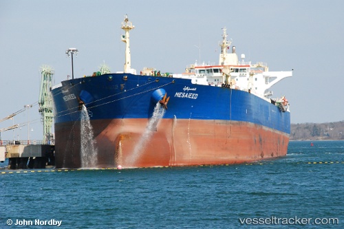
Vessel profile: ARGEUS is a Oil Products Tanker with dimensions 244m x 42m.
This page combines live AIS, route history, probable destination signals, nearby traffic, and port activity for practical vessel monitoring.
The current position of vessel ARGEUS is 38.80069 lat / 118.68411 lng. Updated: 2026-02-22 04:08:57 UTCNearest reference points:
- 13 nm SE of Caofeidian Pt
- Near Caofeidian Pt
- Near CAOFEIDIAN
Currently sailing under the flag of Marshall Islands ![]()
ARGEUS built in 2006 year
Deadweight:
106007 tDetails:
Live Vessel ARGEUS Analytics (details, animations, etc.)
Recent AIS points (UTC):
2026-02-22 04:08:57 UTC · 38.80069, 118.68411 · SOG 11 kn · COG 97°