 vesseltracker.com
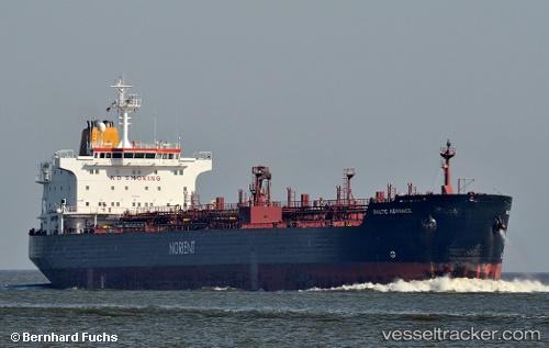
 TENDUA
Current Status
Where is the vessel?
TENDUA is currently in 54 nm SW of Casselton, based on AIS data received about 2h ago.
Latest AIS update:
Current position: 46.25314° N, 13.57572° W (54 nm SW of Casselton)
Average speed (last 7 days): Loading…
Average speed (last 30 days): Loading…
Vessel profile: TENDUA is a Oil/Chemical Tanker with dimensions m x m.
This page combines live AIS, route history, probable destination signals, nearby traffic, and port activity for practical vessel monitoring.
The current position of vessel TENDUA is 46.25314 lat / -13.57572 lng. Updated: 2026-05-15 13:01:24 UTCNearest reference points:
- 24 nm N of Aurach Bei Kitzbuhel
Currently sailing under the flag of Sierra Leone ![]()
Details:
Live Vessel TENDUA Analytics (details, animations, etc.)
Recent AIS points (UTC):
2026-05-15 10:06:14 UTC · 46.82338, -13.77116 · SOG 12.2 kn · COG 165°2026-05-15 11:17:56 UTC · 46.58709, -13.68995 · SOG 11.9 kn · COG 164°
2026-05-15 13:01:24 UTC · 46.25314, -13.57572 · SOG 11.8 kn · COG 164°
2026-05-15 13:01:24 UTC · 46.25314, -13.57572 · SOG 11.8 kn · COG 164°