 vesseltracker.com
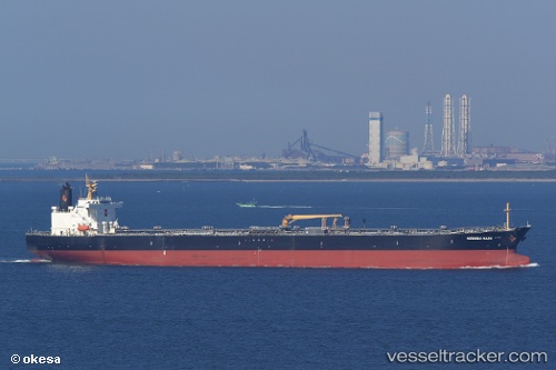
 AMARIN INDAH
Current Status
Where is the vessel?
AMARIN INDAH is currently in Near Lundeborg, based on AIS data received about 2h ago.
Latest AIS update:
Current position: 55.14390° N, 10.99480° E (Near Lundeborg)
Average speed (last 7 days): Loading…
Average speed (last 30 days): Loading…
Vessel profile: AMARIN INDAH is a Crude Oil Tanker with dimensions m x m.
This page combines live AIS, route history, probable destination signals, nearby traffic, and port activity for practical vessel monitoring.
The current position of vessel AMARIN INDAH is 55.14390 lat / 10.99480 lng. Updated: 2026-04-24 23:21:51 UTCNearest reference points:
- Near Lundeborg
- Near Lindholm Havn
- Near SPODSBJERG
Currently sailing under the flag of Panama ![]()
Details:
Live Vessel AMARIN INDAH Analytics (details, animations, etc.)
Recent AIS points (UTC):
2026-04-24 18:26:35 UTC · 54.91446, 13.32954 · SOG 10.6 kn · COG 248°2026-04-24 18:26:35 UTC · 54.91446, 13.32954 · SOG 10.6 kn · COG 248°
2026-04-24 18:26:35 UTC · 54.91446, 13.32954 · SOG 10.6 kn · COG 248°
2026-04-24 23:21:51 UTC · 55.14390, 10.99480 · SOG 9.8 kn · COG 2°