 vesseltracker.com
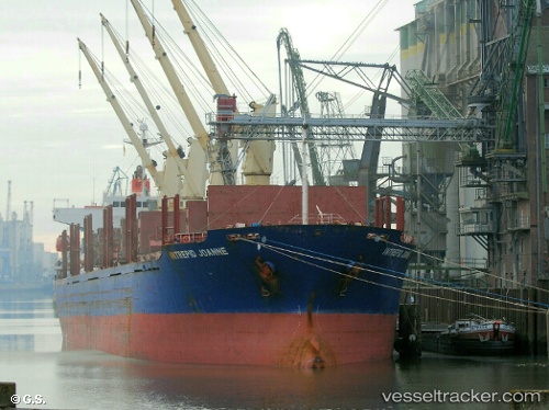
 BLUE ALEXANDRA
Current Status
Where is the vessel?
BLUE ALEXANDRA is currently in 22 nm SW of Parit Raja, based on AIS data received less than 1h ago.
Latest AIS update:
Current position: 1.58840° N, 102.89069° E (22 nm SW of Parit Raja)
Average speed (last 7 days): Loading…
Average speed (last 30 days): Loading…
Vessel profile: BLUE ALEXANDRA is a Bulk Carrier with dimensions 177m x 28m.
This page combines live AIS, route history, probable destination signals, nearby traffic, and port activity for practical vessel monitoring.
The current position of vessel BLUE ALEXANDRA is 1.58840 lat / 102.89069 lng. Updated: 2026-04-30 13:56:37 UTCNearest reference points:
- 29 nm W of Parit Raja
- 17 nm NE of Perawang
- 19 nm W of Tanjong Bin
Currently sailing under the flag of Marshall Islands ![]()
BLUE ALEXANDRA built in 2005 year
Deadweight:
32545 tDetails:
Live Vessel BLUE ALEXANDRA Analytics (details, animations, etc.)
Recent AIS points (UTC):
2026-04-30 10:26:24 UTC · 1.80851, 102.43561 · SOG 13.9 kn · COG 108°2026-04-30 11:29:57 UTC · 1.73734, 102.60059 · SOG 7.8 kn · COG 119°
2026-04-30 13:27:48 UTC · 1.60844, 102.86017 · SOG 7.4 kn · COG 122°
2026-04-30 13:56:37 UTC · 1.58840, 102.89069 · SOG 2.8 kn · COG 124°