 vesseltracker.com
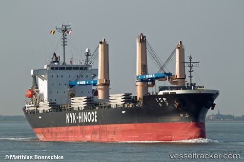
Ise
Current StatusWhere is the vessel?
Ise is currently in Near Xinglin, based on AIS data received less than 1h ago.
Latest AIS update:
Current position: 24.54432° N, 118.09105° E (Near Xinglin)
Average speed (last 7 days): Loading…
Average speed (last 30 days): Loading…
Vessel profile: Ise is a Multi Purpose Carrier with dimensions 24m x 150m.
This page combines live AIS, route history, probable destination signals, nearby traffic, and port activity for practical vessel monitoring.
The current position of vessel Ise is 24.54432 lat / 118.09105 lng. Updated: 2026-05-14 04:50:50 UTCNearest reference points:
- Near Xinglin
- Near Hsia-Men
- Near ZHANGZHOU
Details:
Live Vessel Ise Analytics (details, animations, etc.)
Recent AIS points (UTC):
2026-05-14 01:06:41 UTC · 24.42695, 118.06477 · SOG 11.9 kn · COG 302°2026-05-14 01:36:02 UTC · 24.50012, 118.06910 · SOG 7.8 kn · COG 11°
2026-05-14 03:44:44 UTC · 24.54428, 118.09103 · SOG 0 kn · COG 40°
2026-05-14 04:50:50 UTC · 24.54432, 118.09105 · SOG 0 kn · COG 40°