 vesseltracker.com
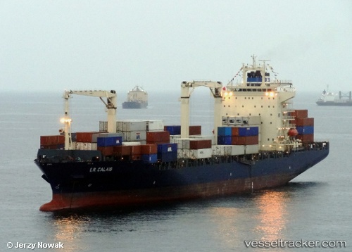
 MARSA PRIDE
Current Status
Where is the vessel?
MARSA PRIDE is currently in 224 nm SE of Hateruma, based on AIS data received about 16h ago.
Latest AIS update:
Current position: 20.94739° N, 126.02689° E (224 nm SE of Hateruma)
Average speed (last 7 days): Loading…
Average speed (last 30 days): Loading…
Vessel profile: MARSA PRIDE is a Container Ship with dimensions m x m.
This page combines live AIS, route history, probable destination signals, nearby traffic, and port activity for practical vessel monitoring.
The current position of vessel MARSA PRIDE is 20.94739 lat / 126.02689 lng. Updated: 2026-04-30 02:18:48 UTCNearest reference points:
- 88 nm E of Port Irene
Currently sailing under the flag of Panama ![]()
Details:
Live Vessel MARSA PRIDE Analytics (details, animations, etc.)
Recent AIS points (UTC):
2026-04-30 02:18:48 UTC · 20.94739, 126.02689 · SOG 16.2 kn · COG 6°2026-04-30 02:18:48 UTC · 20.94739, 126.02689 · SOG 16.2 kn · COG 6°
2026-04-30 02:18:48 UTC · 20.94739, 126.02689 · SOG 16.2 kn · COG 6°
2026-04-30 02:18:48 UTC · 20.94739, 126.02689 · SOG 16.2 kn · COG 6°