 vesseltracker.com
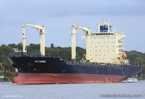
Hsl Nike
Current StatusWhere is the vessel?
Hsl Nike is currently in 62 nm W of Salaverry, based on AIS data received less than 1h ago.
Latest AIS update:
Current position: 8.43667° S, 79.98500° W (62 nm W of Salaverry)
Average speed (last 7 days): Loading…
Average speed (last 30 days): Loading…
Vessel profile: Hsl Nike is a Container Ship with dimensions 30m x 210m.
This page combines live AIS, route history, probable destination signals, nearby traffic, and port activity for practical vessel monitoring.
The current position of vessel Hsl Nike is -8.43667 lat / -79.98500 lng. Updated: 2026-05-15 07:20:13 UTCNearest reference points:
- 81 nm SW of Chimbote
Details:
Live Vessel Hsl Nike Analytics (details, animations, etc.)
Recent AIS points (UTC):
2026-05-15 03:56:31 UTC · -9.15335, -79.52612 · SOG 14.8 kn · COG 328°2026-05-15 04:16:07 UTC · -9.08428, -79.56776 · SOG 14.5 kn · COG 328°
2026-05-15 05:43:56 UTC · -8.77999, -79.76197 · SOG 15 kn · COG 323°
2026-05-15 07:20:13 UTC · -8.43667, -79.98500 · SOG 14 kn · COG -1°