 vesseltracker.com
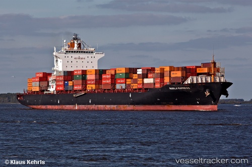
 RENA P
Current Status
Where is the vessel?
RENA P is currently in 328 nm E of Richards Bay, based on AIS data received less than 1h ago.
Latest AIS update:
Current position: 30.12167° S, 38.22833° E (328 nm E of Richards Bay)
Average speed (last 7 days): Loading…
Average speed (last 30 days): Loading…
Vessel profile: RENA P is a Container Ship with dimensions 260m x 32m.
This page combines live AIS, route history, probable destination signals, nearby traffic, and port activity for practical vessel monitoring.
The current position of vessel RENA P is -30.12167 lat / 38.22833 lng. Updated: 2026-05-16 01:55:20 UTCNearest reference points:
- 358 nm E of Richards Bay
- Open sea, approx. 400 nm off the nearest listed port
- Open sea, approx. 401 nm off the nearest listed port
Currently sailing under the flag of Marshall Islands ![]()
RENA P built in 2007 year
Deadweight:
50764 tDetails:
Live Vessel RENA P Analytics (details, animations, etc.)
Recent AIS points (UTC):
2026-05-15 22:07:36 UTC · -30.69458, 36.97524 · SOG 19 kn · COG 63°2026-05-16 00:03:15 UTC · -30.39877, 37.61172 · SOG 19.2 kn · COG 62°
2026-05-16 01:32:09 UTC · -30.17792, 38.10054 · SOG 19.7 kn · COG 65°
2026-05-16 01:55:20 UTC · -30.12167, 38.22833 · SOG 19 kn · COG -1°