 vesseltracker.com
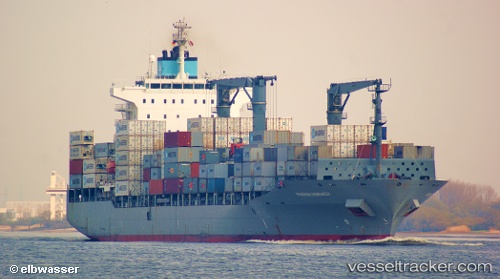
 Lucie Schulte
Current Status
Where is the vessel?
Lucie Schulte is currently in 141 nm NE of Puerto Cabezas, based on AIS data received less than 1h ago.
Latest AIS update:
Current position: 15.74883° N, 81.72457° W (141 nm NE of Puerto Cabezas)
Average speed (last 7 days): Loading…
Average speed (last 30 days): Loading…
Vessel profile: Lucie Schulte is a Container Ship with dimensions 210m x 30m.
This page combines live AIS, route history, probable destination signals, nearby traffic, and port activity for practical vessel monitoring.
The current position of vessel Lucie Schulte is 15.74883 lat / -81.72457 lng. Updated: 2026-05-14 02:08:35 UTCCurrently sailing under the flag of Singapore ![]()
Lucie Schulte built in 2006 year
Deadweight:
34396 tDetails:
Live Vessel Lucie Schulte Analytics (details, animations, etc.)
Recent AIS points (UTC):
2026-05-13 21:08:42 UTC · 14.85382, -80.92020 · SOG 14.7 kn · COG 342°2026-05-13 23:28:52 UTC · 15.37137, -81.16390 · SOG 14.4 kn · COG 316°
2026-05-14 01:39:49 UTC · 15.69095, -81.61232 · SOG 15 kn · COG 295°
2026-05-14 02:08:35 UTC · 15.74883, -81.72457 · SOG 15.1 kn · COG 291°