 vesseltracker.com
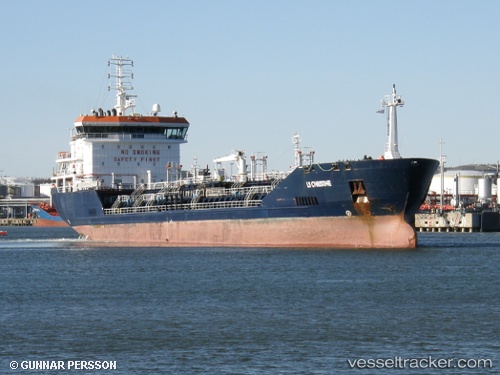
 SEBAHAT ANA
Current Status
Where is the vessel?
SEBAHAT ANA is currently in Near Nemrut Bay, based on AIS data received about 3h ago.
Latest AIS update:
Current position: 38.78523° N, 26.91545° E (Near Nemrut Bay)
Average speed (last 7 days): Loading…
Average speed (last 30 days): Loading…
Vessel profile: SEBAHAT ANA is a Oil/Chemical Tanker with dimensions m x m.
This page combines live AIS, route history, probable destination signals, nearby traffic, and port activity for practical vessel monitoring.
The current position of vessel SEBAHAT ANA is 38.78523 lat / 26.91545 lng. Updated: 2026-04-23 15:18:53 UTCNearest reference points:
- Near Nemrut Bay
- Near NEMRUT
- Near Aliaga
Currently sailing under the flag of Turkey ![]()
Details:
Live Vessel SEBAHAT ANA Analytics (details, animations, etc.)
Recent AIS points (UTC):
2026-04-23 14:03:03 UTC · 38.78527, 26.91547 · SOG 0 kn · COG -1°2026-04-23 15:18:53 UTC · 38.78523, 26.91545 · SOG 0 kn · COG -1°
2026-04-23 15:18:53 UTC · 38.78523, 26.91545 · SOG 0 kn · COG -1°
2026-04-23 15:18:53 UTC · 38.78523, 26.91545 · SOG 0 kn · COG -1°