 vesseltracker.com
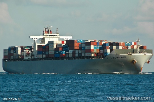
 MSC ANAHITA
Current Status
Where is the vessel?
MSC ANAHITA is currently in 15 nm SE of Shinas, based on AIS data received about 5d ago.
Latest AIS update:
Current position: 24.54142° N, 56.63268° E (15 nm SE of Shinas)
Average speed (last 7 days): Loading…
Average speed (last 30 days): Loading…
Vessel profile: MSC ANAHITA is a Container Ship with dimensions 284m x 40m.
This page combines live AIS, route history, probable destination signals, nearby traffic, and port activity for practical vessel monitoring.
The current position of vessel MSC ANAHITA is 24.54142 lat / 56.63268 lng. Updated: 2026-04-14 07:57:35 UTCNearest reference points:
- 17 nm SE of Shinas
- 18 nm SE of SHINAS
- Near Fujairah
Currently sailing under the flag of Liberia ![]()
MSC ANAHITA built in 2006 year
Deadweight:
71270 tDetails:
Live Vessel MSC ANAHITA Analytics (details, animations, etc.)
Recent AIS points (UTC):
2026-04-14 05:56:36 UTC · 24.51810, 56.60786 · SOG 0 kn · COG 143°2026-04-14 07:50:48 UTC · 24.54275, 56.63317 · SOG 7.8 kn · COG 11°
2026-04-14 07:57:35 UTC · 24.54142, 56.63268 · SOG 7.8 kn · COG -1°
2026-04-14 07:57:35 UTC · 24.54142, 56.63268 · SOG 7.8 kn · COG -1°