 vesseltracker.com
 RAINBOW
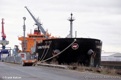
Current Status
Where is the vessel?
RAINBOW is currently in Near ZEYTINBURNU, based on AIS data received less than 1h ago.
Latest AIS update:
Current position: 40.92564° N, 28.96207° E (Near ZEYTINBURNU)
Average speed (last 7 days): Loading…
Average speed (last 30 days): Loading…
Vessel profile: RAINBOW is a Chemical/Oil Products Tanker with dimensions 183m x 183m.
This page combines live AIS, route history, probable destination signals, nearby traffic, and port activity for practical vessel monitoring.
The current position of vessel RAINBOW is 40.92564 lat / 28.96207 lng. Updated: 2026-05-14 21:37:47 UTCNearest reference points:
- Near ZEYTINBURNU
- Near Davutpasa
- Near Kiziltoprak
Currently sailing under the flag of Antigua Barbuda ![]()
RAINBOW built in 2005 year
Deadweight:
36990 tDetails:
Live Vessel RAINBOW Analytics (details, animations, etc.)
Recent AIS points (UTC):
2026-05-14 18:18:13 UTC · 40.77023, 29.55016 · SOG 0 kn · COG 147°2026-05-14 19:39:58 UTC · 40.74065, 29.34188 · SOG 11.5 kn · COG 270°
2026-05-14 19:49:28 UTC · 40.74060, 29.29858 · SOG 12.6 kn · COG 270°
2026-05-14 21:37:47 UTC · 40.92564, 28.96207 · SOG 8.9 kn · COG 346°