 vesseltracker.com
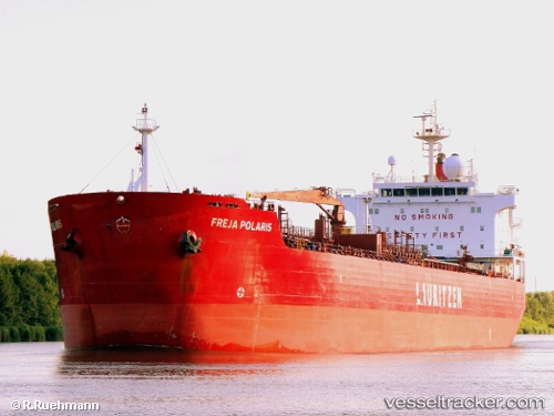
 TENDER HARMONY
Current Status
Where is the vessel?
TENDER HARMONY is currently in Near Exspan, based on AIS data received about 2h ago.
Latest AIS update:
Current position: 1.71701° S, 105.17744° E (Near Exspan)
Average speed (last 7 days): Loading…
Average speed (last 30 days): Loading…
Vessel profile: TENDER HARMONY is a Chemical/Oil Products Tanker with dimensions 27m x 183m.
This page combines live AIS, route history, probable destination signals, nearby traffic, and port activity for practical vessel monitoring.
The current position of vessel TENDER HARMONY is -1.71701 lat / 105.17744 lng. Updated: 2026-04-30 04:23:30 UTCNearest reference points:
- 36 nm SW of Exspan
- 38 nm SW of PANGKAL BALAM
- 16 nm E of Tanjung Uban
Currently sailing under the flag of Indonesia ![]()
TENDER HARMONY built in 2004 year
Deadweight:
37217 tDetails:
Live Vessel TENDER HARMONY Analytics (details, animations, etc.)
Recent AIS points (UTC):
2026-04-30 00:25:16 UTC · -1.31775, 105.80641 · SOG 11.8 kn · COG 250°2026-04-30 00:25:16 UTC · -1.31775, 105.80641 · SOG 11.8 kn · COG 250°
2026-04-30 03:53:42 UTC · -1.63192, 105.23130 · SOG 11.8 kn · COG 214°
2026-04-30 04:23:30 UTC · -1.71701, 105.17744 · SOG 12.2 kn · COG 214°