 vesseltracker.com
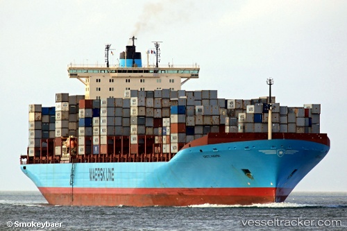
Grete Maersk
Current StatusWhere is the vessel?
Grete Maersk is currently in 151 nm S of Puerto Ángel, based on AIS data received less than 1h ago.
Latest AIS update:
Current position: 13.21667° N, 95.88167° W (151 nm S of Puerto Ángel)
Average speed (last 7 days): Loading…
Average speed (last 30 days): Loading…
Vessel profile: Grete Maersk is a Container Ship with dimensions 42m x 367m.
This page combines live AIS, route history, probable destination signals, nearby traffic, and port activity for practical vessel monitoring.
The current position of vessel Grete Maersk is 13.21667 lat / -95.88167 lng. Updated: 2026-05-13 21:35:53 UTCDetails:
Live Vessel Grete Maersk Analytics (details, animations, etc.)
Recent AIS points (UTC):
2026-05-13 17:59:12 UTC · 13.78167, -96.81500 · SOG 18 kn · COG -1°2026-05-13 19:24:24 UTC · 13.55543, -96.45176 · SOG 17.7 kn · COG 118°
2026-05-13 20:23:33 UTC · 13.40167, -96.19333 · SOG 18 kn · COG -1°
2026-05-13 21:35:53 UTC · 13.21667, -95.88167 · SOG 18 kn · COG -1°