 vesseltracker.com
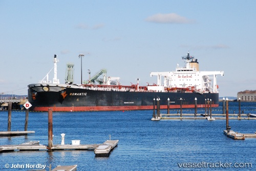
 GREEN EAGLE
Current Status
Where is the vessel?
GREEN EAGLE is currently in 11 nm NW of Okono, based on AIS data received about 2h ago.
Latest AIS update:
Current position: 4.11220° N, 7.12575° E (11 nm NW of Okono)
Average speed (last 7 days): Loading…
Average speed (last 30 days): Loading…
Vessel profile: GREEN EAGLE is a Crude Oil Tanker with dimensions m x m.
This page combines live AIS, route history, probable destination signals, nearby traffic, and port activity for practical vessel monitoring.
The current position of vessel GREEN EAGLE is 4.11220 lat / 7.12575 lng. Updated: 2026-05-14 19:23:18 UTCNearest reference points:
- 12 nm N of Okwori
- 21 nm SW of Bonny
- Near Ima
Currently sailing under the flag of Marshall Islands ![]()
Details:
Live Vessel GREEN EAGLE Analytics (details, animations, etc.)
Recent AIS points (UTC):
2026-05-14 16:14:42 UTC · 4.11218, 7.12550 · SOG 0 kn · COG 174°2026-05-14 17:14:38 UTC · 4.11222, 7.12560 · SOG 0.1 kn · COG 179°
2026-05-14 19:23:18 UTC · 4.11220, 7.12575 · SOG 0 kn · COG 179°
2026-05-14 19:23:18 UTC · 4.11220, 7.12575 · SOG 0 kn · COG 179°