 vesseltracker.com
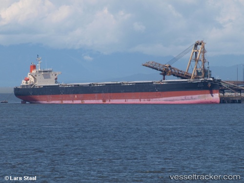
 KAIYO
KAIYO
Current Status
Where is the vessel?
KAIYO is currently in 58 nm NE of Warana, based on AIS data received less than 1h ago.
Latest AIS update:
Current position: 25.90713° S, 154.08833° E (58 nm NE of Warana)
Average speed (last 7 days): Loading…
Average speed (last 30 days): Loading…
Vessel profile: KAIYO is a Bulk Carrier with dimensions 36m x 228m.
This page combines live AIS, route history, probable destination signals, nearby traffic, and port activity for practical vessel monitoring.
The current position of vessel KAIYO is -25.90713 lat / 154.08833 lng. Updated: 2026-05-14 21:45:34 UTCNearest reference points:
- Near Tin Can Bay
- Near NOOSAVILLE
- Near MOOLOOLABA
Currently sailing under the flag of Panama ![]()
KAIYO built in 2006 year
Deadweight:
86062 tDetails:
Live Vessel KAIYO Analytics (details, animations, etc.)
Recent AIS points (UTC):
2026-05-14 17:44:53 UTC · -26.59077, 154.07780 · SOG 10.4 kn · COG 3°2026-05-14 19:42:53 UTC · -26.25119, 154.08620 · SOG 10.4 kn · COG 1°
2026-05-14 20:22:32 UTC · -26.13730, 154.08542 · SOG 10.3 kn · COG 1°
2026-05-14 21:45:34 UTC · -25.90713, 154.08833 · SOG 9.7 kn · COG 2°