 vesseltracker.com
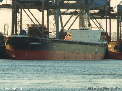
 SINAR KINTAMANI
Current Status
Where is the vessel?
SINAR KINTAMANI is currently in 66 nm SE of Morowali, based on AIS data received about 4h ago.
Latest AIS update:
Current position: 2.77378° S, 122.11638° E (66 nm SE of Morowali)
Average speed (last 7 days): Loading…
Average speed (last 30 days): Loading…
Vessel profile: SINAR KINTAMANI is a Bulk Carrier with dimensions m x m.
This page combines live AIS, route history, probable destination signals, nearby traffic, and port activity for practical vessel monitoring.
The current position of vessel SINAR KINTAMANI is -2.77378 lat / 122.11638 lng. Updated: 2026-04-24 05:56:44 UTCNearest reference points:
- 45 nm N of KENDARI
- 11 nm NW of KENDARI
- 22 nm S of Tangkiang
Currently sailing under the flag of Indonesia ![]()
Details:
Live Vessel SINAR KINTAMANI Analytics (details, animations, etc.)
Recent AIS points (UTC):
2026-04-24 05:41:44 UTC · -2.77497, 122.11685 · SOG 0.1 kn · COG 307°2026-04-24 05:56:44 UTC · -2.77378, 122.11638 · SOG 0.4 kn · COG 282°
2026-04-24 05:56:44 UTC · -2.77378, 122.11638 · SOG 0.4 kn · COG 282°
2026-04-24 05:56:44 UTC · -2.77378, 122.11638 · SOG 0.4 kn · COG 282°