 vesseltracker.com
 CINDY
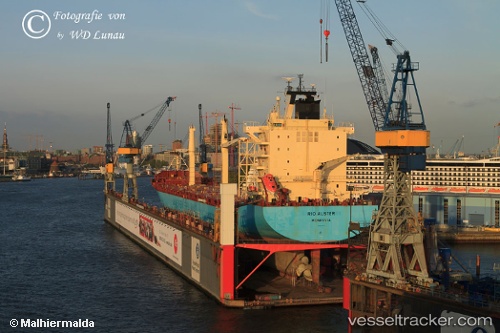
CINDY
Current Status
Where is the vessel?
CINDY is currently in Near IZABELA JUG, based on AIS data received less than 1h ago.
Latest AIS update:
Current position: 44.86940° N, 12.98480° E (Near IZABELA JUG)
Average speed (last 7 days): Loading…
Average speed (last 30 days): Loading…
Vessel profile: CINDY is a Container Ship with dimensions 211m x 30m.
This page combines live AIS, route history, probable destination signals, nearby traffic, and port activity for practical vessel monitoring.
The current position of vessel CINDY is 44.86940 lat / 12.98480 lng. Updated: 2026-05-14 05:47:07 UTCNearest reference points:
- Near IVANA C
- Near PORTO PILA
- Near Camponogara
Currently sailing under the flag of Liberia ![]()
CINDY built in 2004 year
Deadweight:
34884 tDetails:
Live Vessel CINDY Analytics (details, animations, etc.)
Recent AIS points (UTC):
2026-05-14 01:29:36 UTC · 45.46685, 13.14350 · SOG 9.9 kn · COG 233°2026-05-14 03:44:06 UTC · 45.16216, 13.05898 · SOG 8.9 kn · COG 172°
2026-05-14 04:36:17 UTC · 45.03594, 13.02999 · SOG 8.7 kn · COG 190°
2026-05-14 05:47:07 UTC · 44.86940, 12.98480 · SOG 8.7 kn · COG 191°