 vesseltracker.com
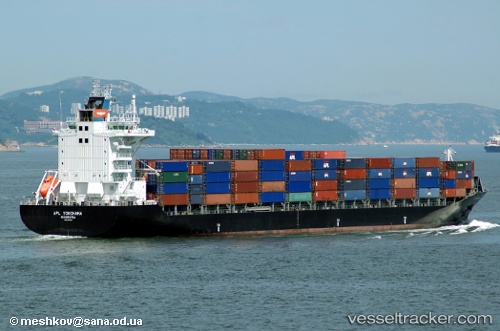
 CHIQUITA VOYAGER
Current Status
Where is the vessel?
CHIQUITA VOYAGER is currently in Near Valle de Aguas Arriba, based on AIS data received less than 1h ago.
Latest AIS update:
Current position: 9.25801° N, 82.33865° W (Near Valle de Aguas Arriba)
Average speed (last 7 days): Loading…
Average speed (last 30 days): Loading…
Vessel profile: CHIQUITA VOYAGER is a Container Ship with dimensions m x m.
This page combines live AIS, route history, probable destination signals, nearby traffic, and port activity for practical vessel monitoring.
The current position of vessel CHIQUITA VOYAGER is 9.25801 lat / -82.33865 lng. Updated: 2026-05-18 01:22:26 UTCNearest reference points:
- Near Chiriquí Grande
- Near Colon
- Near Fuerte Davis
Currently sailing under the flag of Liberia ![]()
Details:
Live Vessel CHIQUITA VOYAGER Analytics (details, animations, etc.)
Recent AIS points (UTC):
2026-05-17 22:08:41 UTC · 9.28724, -82.38936 · SOG 0 kn · COG 284°2026-05-17 22:23:40 UTC · 9.28724, -82.38936 · SOG 0 kn · COG 284°
2026-05-17 23:32:41 UTC · 9.28729, -82.38942 · SOG 0 kn · COG 284°
2026-05-18 01:22:26 UTC · 9.25801, -82.33865 · SOG 15.5 kn · COG 62°