 vesseltracker.com
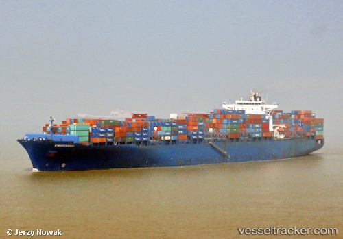
 ESL SANA
Current Status
Where is the vessel?
ESL SANA is currently in 47 nm SW of Positra, based on AIS data received about 1h ago.
Latest AIS update:
Current position: 21.75737° N, 68.67220° E (47 nm SW of Positra)
Average speed (last 7 days): Loading…
Average speed (last 30 days): Loading…
Vessel profile: ESL SANA is a Container Ship with dimensions m x m.
This page combines live AIS, route history, probable destination signals, nearby traffic, and port activity for practical vessel monitoring.
The current position of vessel ESL SANA is 21.75737 lat / 68.67220 lng. Updated: 2026-05-14 00:08:36 UTCNearest reference points:
- 49 nm S of Positra
- 54 nm S of Positra
- 13 nm W of Måndvi
Currently sailing under the flag of Portugal ![]()
Details:
Live Vessel ESL SANA Analytics (details, animations, etc.)
Recent AIS points (UTC):
2026-05-13 19:58:56 UTC · 21.59161, 68.86295 · SOG 1.2 kn · COG 354°2026-05-13 21:31:26 UTC · 21.63262, 68.83142 · SOG 4.8 kn · COG 319°
2026-05-13 22:25:46 UTC · 21.68855, 68.78495 · SOG 4.6 kn · COG 314°
2026-05-14 00:08:36 UTC · 21.75737, 68.67220 · SOG 4.6 kn · COG 285°