 vesseltracker.com
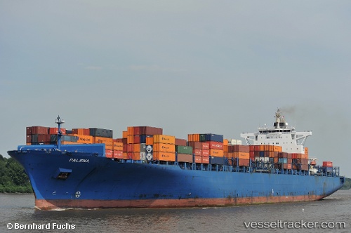
 Palena
Current Status
Where is the vessel?
Palena is currently in 52 nm NE of Kralendijk, based on AIS data received less than 1h ago.
Latest AIS update:
Current position: 12.50178° N, 67.45073° W (52 nm NE of Kralendijk)
Average speed (last 7 days): Loading…
Average speed (last 30 days): Loading…
Vessel profile: Palena is a Container Ship with dimensions 304m x 40m.
This page combines live AIS, route history, probable destination signals, nearby traffic, and port activity for practical vessel monitoring.
The current position of vessel Palena is 12.50178 lat / -67.45073 lng. Updated: 2026-04-23 10:13:32 UTCNearest reference points:
- Near Bullenbaai
- 148 nm N of Dorp Rincón
Currently sailing under the flag of Liberia ![]()
Palena built in 2006 year
Deadweight:
81247 tDetails:
Live Vessel Palena Analytics (details, animations, etc.)
Recent AIS points (UTC):
2026-04-23 05:55:55 UTC · 12.35340, -66.39772 · SOG 14.4 kn · COG 277°2026-04-23 07:44:29 UTC · 12.40725, -66.83865 · SOG 14.3 kn · COG 277°
2026-04-23 08:13:02 UTC · 12.42679, -66.95320 · SOG 14.6 kn · COG 295°
2026-04-23 10:13:32 UTC · 12.50178, -67.45073 · SOG 15 kn · COG 280°