 vesseltracker.com
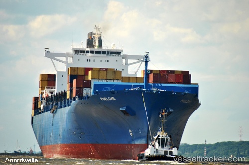
 ESL DANA
Current Status
Where is the vessel?
ESL DANA is currently in 38 nm NE of Belawan, based on AIS data received about 2h ago.
Latest AIS update:
Current position: 4.30026° N, 99.03883° E (38 nm NE of Belawan)
Average speed (last 7 days): Loading…
Average speed (last 30 days): Loading…
Vessel profile: ESL DANA is a Container Ship with dimensions m x m.
This page combines live AIS, route history, probable destination signals, nearby traffic, and port activity for practical vessel monitoring.
The current position of vessel ESL DANA is 4.30026 lat / 99.03883 lng. Updated: 2026-04-28 19:36:26 UTCNearest reference points:
- 43 nm NE of Perbaungan
- 43 nm NE of PANGKALAN SUSU
- 10 nm NE of Belawan
Currently sailing under the flag of Portugal ![]()
Details:
Live Vessel ESL DANA Analytics (details, animations, etc.)
Recent AIS points (UTC):
2026-04-28 16:02:56 UTC · 4.29833, 99.03667 · SOG 0 kn · COG -1°2026-04-28 16:18:25 UTC · 4.29773, 99.03651 · SOG 0.2 kn · COG 87°
2026-04-28 18:18:25 UTC · 4.29699, 99.04021 · SOG 0.1 kn · COG 317°
2026-04-28 19:36:26 UTC · 4.30026, 99.03883 · SOG 0 kn · COG 189°