 vesseltracker.com
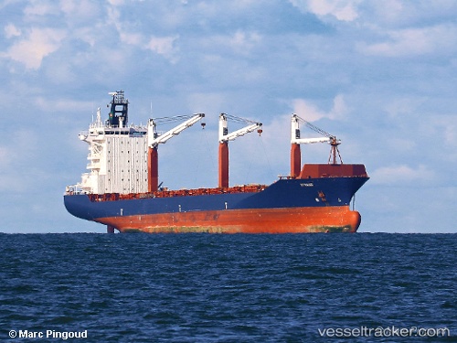
 GALLOWAY
Current Status
Where is the vessel?
GALLOWAY is currently in 24 nm NW of Hsin-chu, based on AIS data received less than 1h ago.
Latest AIS update:
Current position: 24.98387° N, 120.55886° E (24 nm NW of Hsin-chu)
Average speed (last 7 days): Loading…
Average speed (last 30 days): Loading…
Vessel profile: GALLOWAY is a Container Ship with dimensions 29m x 206m.
This page combines live AIS, route history, probable destination signals, nearby traffic, and port activity for practical vessel monitoring.
The current position of vessel GALLOWAY is 24.98387 lat / 120.55886 lng. Updated: 2026-04-28 17:45:20 UTCNearest reference points:
- 11 nm NW of Hukou
- Near Hsin-chu
- Near Miao-li
Currently sailing under the flag of Liberia ![]()
GALLOWAY built in 2005 year
Deadweight:
33900 tDetails:
Live Vessel GALLOWAY Analytics (details, animations, etc.)
Recent AIS points (UTC):
2026-04-28 14:03:00 UTC · 25.40467, 120.96237 · SOG 9.3 kn · COG 205°2026-04-28 15:46:41 UTC · 25.20578, 120.78156 · SOG 8.7 kn · COG 224°
2026-04-28 16:12:51 UTC · 25.16045, 120.73028 · SOG 9 kn · COG 224°
2026-04-28 17:45:20 UTC · 24.98387, 120.55886 · SOG 9.5 kn · COG 220°