 vesseltracker.com
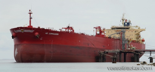
 CAVALIER
Current Status
Where is the vessel?
CAVALIER is currently in 58 nm NE of Utiel, based on AIS data received about 1h ago.
Latest AIS update:
Current position: 40.16833° N, 10.19500° W (58 nm NE of Utiel)
Average speed (last 7 days): Loading…
Average speed (last 30 days): Loading…
Vessel profile: CAVALIER is a Crude Oil Tanker with dimensions m x m.
This page combines live AIS, route history, probable destination signals, nearby traffic, and port activity for practical vessel monitoring.
The current position of vessel CAVALIER is 40.16833 lat / -10.19500 lng. Updated: 2026-05-01 09:55:01 UTCNearest reference points:
- 52 nm W of Canas de Santa Maria
- Near PENICHE
- Near Nazaré
Currently sailing under the flag of Oman ![]()
Details:
Live Vessel CAVALIER Analytics (details, animations, etc.)
Recent AIS points (UTC):
2026-05-01 07:52:01 UTC · 40.56667, -10.19667 · SOG 11 kn · COG -1°2026-05-01 08:19:00 UTC · 40.47833, -10.19667 · SOG 11 kn · COG -1°
2026-05-01 09:55:01 UTC · 40.16833, -10.19500 · SOG 11 kn · COG -1°
2026-05-01 09:55:01 UTC · 40.16833, -10.19500 · SOG 11 kn · COG -1°