 vesseltracker.com
 FAIRWAY
Current Status
Where is the vessel?
FAIRWAY is currently in 188 nm SW of Sittwe Harbor, based on AIS data received about 2h ago.
Latest AIS update:
Current position: 18.36833° N, 90.16667° E (188 nm SW of Sittwe Harbor)
Average speed (last 7 days): Loading…
Average speed (last 30 days): Loading…
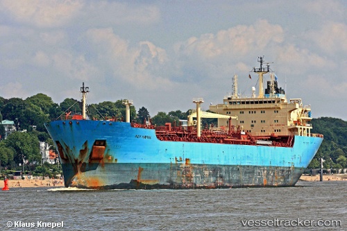
Vessel profile: FAIRWAY is a Oil Products Tanker with dimensions 28m x 172m.
This page combines live AIS, route history, probable destination signals, nearby traffic, and port activity for practical vessel monitoring.
The current position of vessel FAIRWAY is 18.36833 lat / 90.16667 lng. Updated: 2026-05-14 23:57:57 UTCNearest reference points:
- 73 nm SW of KYAUKPYU
- 61 nm E of DHAMRA
Currently sailing under the flag of India ![]()
FAIRWAY built in 2005 year
Deadweight:
35190 tDetails:
Live Vessel FAIRWAY Analytics (details, animations, etc.)
Recent AIS points (UTC):
2026-05-14 19:27:54 UTC · 17.55333, 90.87833 · SOG 14 kn · COG -1°2026-05-14 21:51:56 UTC · 17.99167, 90.49500 · SOG 14 kn · COG -1°
2026-05-14 22:51:56 UTC · 18.17333, 90.33333 · SOG 13 kn · COG -1°
2026-05-14 23:57:57 UTC · 18.36833, 90.16667 · SOG 13 kn · COG -1°