 vesseltracker.com
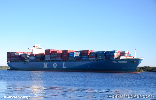
 WAN HAI 622
Current Status
Where is the vessel?
WAN HAI 622 is currently in 85 nm E of Vinh Cam Ranh, based on AIS data received less than 1h ago.
Latest AIS update:
Current position: 11.50410° N, 110.53611° E (85 nm E of Vinh Cam Ranh)
Average speed (last 7 days): Loading…
Average speed (last 30 days): Loading…
Vessel profile: WAN HAI 622 is a Container Ship with dimensions 293m x 293m.
This page combines live AIS, route history, probable destination signals, nearby traffic, and port activity for practical vessel monitoring.
The current position of vessel WAN HAI 622 is 11.50410 lat / 110.53611 lng. Updated: 2026-05-15 11:31:02 UTCNearest reference points:
- 163 nm E of Vinh Cam Ranh
- Near Vinh Cam Ranh
- 156 nm SE of Phan Rang-Tháp Chàm
Currently sailing under the flag of Singapore ![]()
WAN HAI 622 built in 2005 year
Deadweight:
72968 tDetails:
Live Vessel WAN HAI 622 Analytics (details, animations, etc.)
Recent AIS points (UTC):
2026-05-15 08:21:44 UTC · 12.19967, 110.93276 · SOG 15.4 kn · COG 212°2026-05-15 10:07:15 UTC · 11.81766, 110.69978 · SOG 15.1 kn · COG 217°
2026-05-15 10:07:15 UTC · 11.81766, 110.69978 · SOG 15.1 kn · COG 217°
2026-05-15 11:31:02 UTC · 11.50410, 110.53611 · SOG 15 kn · COG 206°