 vesseltracker.com
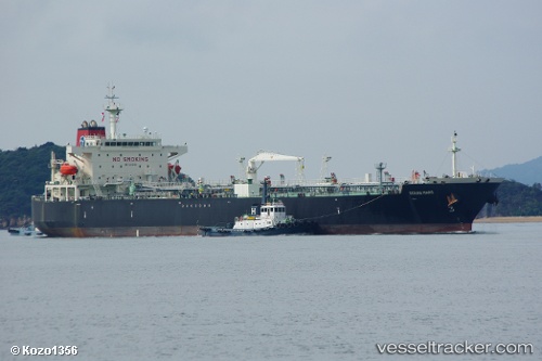
 SAM MAJESTY
Current Status
Where is the vessel?
SAM MAJESTY is currently in 33 nm SE of Buraydah, based on AIS data received about 6h ago.
Latest AIS update:
Current position: 25.81170° N, 44.23049° E (33 nm SE of Buraydah)
Average speed (last 7 days): Loading…
Average speed (last 30 days): Loading…
Vessel profile: SAM MAJESTY is a Crude Oil Tanker with dimensions m x m.
This page combines live AIS, route history, probable destination signals, nearby traffic, and port activity for practical vessel monitoring.
The current position of vessel SAM MAJESTY is 25.81170 lat / 44.23049 lng. Updated: 2026-05-14 05:48:59 UTCCurrently sailing under the flag of Marshall Islands ![]()
Details:
Live Vessel SAM MAJESTY Analytics (details, animations, etc.)
Recent AIS points (UTC):
2026-05-14 05:48:59 UTC · 25.81170, 44.23049 · SOG 24.7 kn · COG 261°2026-05-14 05:48:59 UTC · 25.81170, 44.23049 · SOG 24.7 kn · COG 261°
2026-05-14 05:48:59 UTC · 25.81170, 44.23049 · SOG 24.7 kn · COG 261°
2026-05-14 05:48:59 UTC · 25.81170, 44.23049 · SOG 24.7 kn · COG 261°