 vesseltracker.com
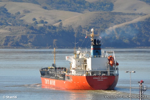
 DAMIANIA
Current Status
Where is the vessel?
DAMIANIA is currently in 53 nm E of Ilsan, based on AIS data received about 1h ago.
Latest AIS update:
Current position: 35.25795° N, 130.47438° E (53 nm E of Ilsan)
Average speed (last 7 days): Loading…
Average speed (last 30 days): Loading…
Vessel profile: DAMIANIA is a Oil/Chemical Tanker with dimensions m x m.
This page combines live AIS, route history, probable destination signals, nearby traffic, and port activity for practical vessel monitoring.
The current position of vessel DAMIANIA is 35.25795 lat / 130.47438 lng. Updated: 2026-05-16 12:07:01 UTCNearest reference points:
- 27 nm SE of ONSAN
- 23 nm SE of Guryongpo
- 21 nm E of Guryongpo
Currently sailing under the flag of Panama ![]()
Details:
Live Vessel DAMIANIA Analytics (details, animations, etc.)
Recent AIS points (UTC):
2026-05-16 07:43:50 UTC · 35.26962, 130.53302 · SOG 0.7 kn · COG 153°2026-05-16 09:29:05 UTC · 35.25802, 130.51320 · SOG 0.6 kn · COG 269°
2026-05-16 10:43:43 UTC · 35.25393, 130.49507 · SOG 0.8 kn · COG 285°
2026-05-16 12:07:01 UTC · 35.25795, 130.47438 · SOG 0.8 kn · COG 273°