 vesseltracker.com
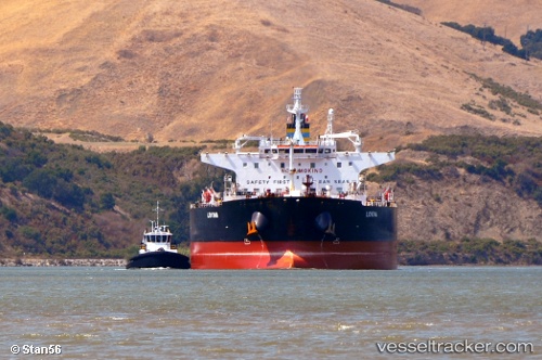
 KUSTO
KUSTO
Current Status
Where is the vessel?
KUSTO is currently in 69 nm W of Jeddah, based on AIS data received about 1h ago.
Latest AIS update:
Current position: 21.03815° N, 37.99265° E (69 nm W of Jeddah)
Average speed (last 7 days): Loading…
Average speed (last 30 days): Loading…
Vessel profile: KUSTO is a Crude Oil Tanker with dimensions m x m.
This page combines live AIS, route history, probable destination signals, nearby traffic, and port activity for practical vessel monitoring.
The current position of vessel KUSTO is 21.03815 lat / 37.99265 lng. Updated: 2026-05-14 16:06:40 UTCNearest reference points:
- 64 nm W of Tusdeer Free Zone
- 67 nm W of Tusdeer Free Zone
- 65 nm SW of King Abdullah City
Currently sailing under the flag of Sierra Leone ![]()
Details:
Live Vessel KUSTO Analytics (details, animations, etc.)
Recent AIS points (UTC):
2026-05-14 13:35:00 UTC · 21.51523, 37.76489 · SOG 12.1 kn · COG 157°2026-05-14 13:55:00 UTC · 21.45447, 37.79525 · SOG 12.1 kn · COG 157°
2026-05-14 16:03:57 UTC · 21.04659, 37.98902 · SOG 12.2 kn · COG 162°
2026-05-14 16:06:40 UTC · 21.03815, 37.99265 · SOG 9.2 kn · COG 162°