 vesseltracker.com
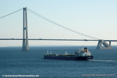
 NORDIC
Current Status
Where is the vessel?
NORDIC is currently in Near Bur Ibrahim, based on AIS data received about 1h ago.
Latest AIS update:
Current position: 29.85800° N, 32.58361° E (Near Bur Ibrahim)
Average speed (last 7 days): Loading…
Average speed (last 30 days): Loading…
Vessel profile: NORDIC is a Oil Products Tanker with dimensions m x m.
This page combines live AIS, route history, probable destination signals, nearby traffic, and port activity for practical vessel monitoring.
The current position of vessel NORDIC is 29.85800 lat / 32.58361 lng. Updated: 2026-05-16 14:01:10 UTCNearest reference points:
- Near SUEZ PORT
- Near Bur Ibrahim
- Near As Suways (Suez)
Currently sailing under the flag of Liberia ![]()
Details:
Live Vessel NORDIC Analytics (details, animations, etc.)
Recent AIS points (UTC):
2026-05-15 19:17:55 UTC · 27.69737, 33.90519 · SOG 12.3 kn · COG 310°2026-05-16 11:52:16 UTC · 29.85755, 32.58188 · SOG 0 kn · COG 12°
2026-05-16 13:31:19 UTC · 29.85766, 32.58261 · SOG 0.1 kn · COG 352°
2026-05-16 14:01:10 UTC · 29.85800, 32.58361 · SOG 0.1 kn · COG 321°