 vesseltracker.com
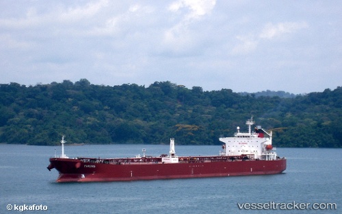
 Evrotas
Current Status
Where is the vessel?
Evrotas is currently in 14 nm NW of Puerto Bolívar, based on AIS data received about 1h ago.
Latest AIS update:
Current position: 3.09603° S, 80.14545° W (14 nm NW of Puerto Bolívar)
Average speed (last 7 days): Loading…
Average speed (last 30 days): Loading…
Vessel profile: Evrotas is a Crude Oil Tanker with dimensions 214m x 33m.
This page combines live AIS, route history, probable destination signals, nearby traffic, and port activity for practical vessel monitoring.
The current position of vessel Evrotas is -3.09603 lat / -80.14545 lng. Updated: 2026-05-13 12:45:46 UTCNearest reference points:
- Near Guayaquil
- Near Samborondon
- Near La Libertad
Currently sailing under the flag of Liberia ![]()
Evrotas built in 2006 year
Deadweight:
61281 tDetails:
Live Vessel Evrotas Analytics (details, animations, etc.)
Recent AIS points (UTC):
2026-05-13 10:12:48 UTC · -3.09557, -80.14588 · SOG 0 kn · COG 61°2026-05-13 11:03:42 UTC · -3.09580, -80.14568 · SOG 0 kn · COG 53°
2026-05-13 12:45:46 UTC · -3.09603, -80.14545 · SOG 0 kn · COG 46°
2026-05-13 12:45:46 UTC · -3.09603, -80.14545 · SOG 0 kn · COG 46°