 vesseltracker.com
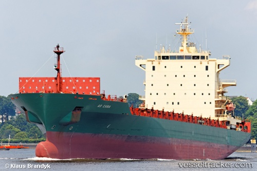
 HARMONY N
Current Status
Where is the vessel?
HARMONY N is currently in Near Trincomalee, based on AIS data received less than 1h ago.
Latest AIS update:
Current position: 8.55254° N, 81.20463° E (Near Trincomalee)
Average speed (last 7 days): Loading…
Average speed (last 30 days): Loading…
Vessel profile: HARMONY N is a Container Ship with dimensions m x m.
This page combines live AIS, route history, probable destination signals, nearby traffic, and port activity for practical vessel monitoring.
The current position of vessel HARMONY N is 8.55254 lat / 81.20463 lng. Updated: 2026-05-14 19:27:11 UTCNearest reference points:
- 67 nm E of Oluvil
- 42 nm E of Konwelana
- 40 nm E of Konwelana
Details:
Live Vessel HARMONY N Analytics (details, animations, etc.)
Recent AIS points (UTC):
2026-05-14 16:51:11 UTC · 8.55255, 81.20463 · SOG 0 kn · COG 250°2026-05-14 17:24:11 UTC · 8.55251, 81.20465 · SOG 0 kn · COG 250°
2026-05-14 19:21:11 UTC · 8.55255, 81.20463 · SOG 0 kn · COG 250°
2026-05-14 19:27:11 UTC · 8.55254, 81.20463 · SOG 0 kn · COG 250°