 vesseltracker.com
 MERENGUE
Current Status
Where is the vessel?
MERENGUE is currently in 10 nm NW of Berja, based on AIS data received about 1h ago.
Latest AIS update:
Current position: 36.93320° N, 2.66115° E (10 nm NW of Berja)
Average speed (last 7 days): Loading…
Average speed (last 30 days): Loading…
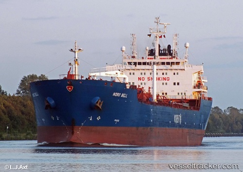
Vessel profile: MERENGUE is a Oil Products Tanker with dimensions m x m.
This page combines live AIS, route history, probable destination signals, nearby traffic, and port activity for practical vessel monitoring.
The current position of vessel MERENGUE is 36.93320 lat / 2.66115 lng. Updated: 2026-05-13 17:23:51 UTCNearest reference points:
- 16 nm NE of Berja
- 17 nm S of Albanchez
- Near Algiers
Currently sailing under the flag of Liberia ![]()
Details:
Live Vessel MERENGUE Analytics (details, animations, etc.)
Recent AIS points (UTC):
2026-05-13 14:20:51 UTC · 36.80252, 1.83580 · SOG 14.2 kn · COG 79°2026-05-13 15:37:17 UTC · 36.86237, 2.20863 · SOG 14.4 kn · COG 79°
2026-05-13 16:36:21 UTC · 36.90657, 2.48397 · SOG 12.7 kn · COG 78°
2026-05-13 17:23:51 UTC · 36.93320, 2.66115 · SOG 10.7 kn · COG 80°