 vesseltracker.com
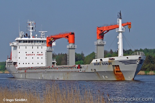
Nuri Sonay
Current StatusWhere is the vessel?
Nuri Sonay is currently in 23 nm N of Santaella, based on AIS data received about 6h ago.
Latest AIS update:
Current position: 37.95137° N, 4.84091° E (23 nm N of Santaella)
Average speed (last 7 days): Loading…
Average speed (last 30 days): Loading…
Vessel profile: Nuri Sonay is a Multi Purpose Carrier with dimensions 22m x 143m.
This page combines live AIS, route history, probable destination signals, nearby traffic, and port activity for practical vessel monitoring.
The current position of vessel Nuri Sonay is 37.95137 lat / 4.84091 lng. Updated: 2026-05-14 01:59:59 UTCNearest reference points:
- Near Zamoranos
- Near Carmona
- Near Bejaia
Details:
Live Vessel Nuri Sonay Analytics (details, animations, etc.)
Recent AIS points (UTC):
2026-05-13 18:27:28 UTC · 37.58962, 3.21669 · SOG 11.2 kn · COG 71°2026-05-14 01:59:59 UTC · 37.95137, 4.84091 · SOG 9.6 kn · COG 69°
2026-05-14 01:59:59 UTC · 37.95137, 4.84091 · SOG 9.6 kn · COG 69°
2026-05-14 01:59:59 UTC · 37.95137, 4.84091 · SOG 9.6 kn · COG 69°