 vesseltracker.com
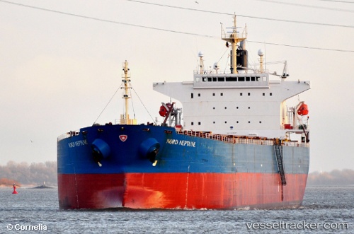
 THE GIVER
Current Status
Where is the vessel?
THE GIVER is currently in 65 nm S of Seogwipo, based on AIS data received about 2h ago.
Latest AIS update:
Current position: 32.15977° N, 126.66212° E (65 nm S of Seogwipo)
Average speed (last 7 days): Loading…
Average speed (last 30 days): Loading…
Vessel profile: THE GIVER is a Bulk Carrier with dimensions 225m x 225m.
This page combines live AIS, route history, probable destination signals, nearby traffic, and port activity for practical vessel monitoring.
The current position of vessel THE GIVER is 32.15977 lat / 126.66212 lng. Updated: 2026-05-14 12:27:09 UTCNearest reference points:
- 75 nm S of Hwasun
- 78 nm S of Seogwipo
- 66 nm S of Hwasun
Currently sailing under the flag of Panama ![]()
THE GIVER built in 2006 year
Deadweight:
75726 tDetails:
Live Vessel THE GIVER Analytics (details, animations, etc.)
Recent AIS points (UTC):
2026-05-14 09:59:00 UTC · 32.49492, 126.98724 · SOG 10.6 kn · COG 213°2026-05-14 09:59:00 UTC · 32.49492, 126.98724 · SOG 10.6 kn · COG 213°
2026-05-14 12:27:09 UTC · 32.15977, 126.66212 · SOG 10.2 kn · COG 214°
2026-05-14 12:27:09 UTC · 32.15977, 126.66212 · SOG 10.2 kn · COG 214°