 vesseltracker.com
 AGATE
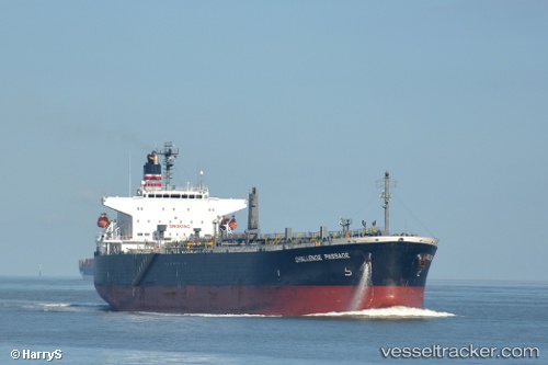
AGATE
Current Status
Where is the vessel?
AGATE is currently in 121 nm W of Isle of Barra, based on AIS data received about 2h ago.
Latest AIS update:
Current position: 56.61366° N, 11.10349° W (121 nm W of Isle of Barra)
Average speed (last 7 days): Loading…
Average speed (last 30 days): Loading…
Vessel profile: AGATE is a Oil Products Tanker with dimensions m x m.
This page combines live AIS, route history, probable destination signals, nearby traffic, and port activity for practical vessel monitoring.
The current position of vessel AGATE is 56.61366 lat / -11.10349 lng. Updated: 2026-05-14 07:03:54 UTCNearest reference points:
- 10 nm NE of Belmullet
Currently sailing under the flag of Cameroon ![]()
Details:
Live Vessel AGATE Analytics (details, animations, etc.)
Recent AIS points (UTC):
2026-05-14 04:05:17 UTC · 56.40331, -12.05646 · SOG 11.5 kn · COG 71°2026-05-14 06:12:04 UTC · 56.52613, -11.34725 · SOG 12.3 kn · COG 65°
2026-05-14 06:38:05 UTC · 56.55676, -11.20182 · SOG 12.1 kn · COG 65°
2026-05-14 07:03:54 UTC · 56.61366, -11.10349 · SOG 11.8 kn · COG 34°