 vesseltracker.com
 Lng Imo
Current Status
Where is the vessel?
Lng Imo is currently in 44 nm SE of Cape Agulhas, based on AIS data received less than 1h ago.
Latest AIS update:
Current position: 35.20828° S, 20.77922° E (44 nm SE of Cape Agulhas)
Average speed (last 7 days): Loading…
Average speed (last 30 days): Loading…
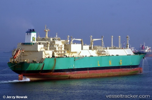
Vessel profile: Lng Imo is a Lng Tanker with dimensions 288m x 44m.
This page combines live AIS, route history, probable destination signals, nearby traffic, and port activity for practical vessel monitoring.
The current position of vessel Lng Imo is -35.20828 lat / 20.77922 lng. Updated: 2026-05-16 05:46:56 UTCNearest reference points:
- 37 nm S of Mosselbaai
- 16 nm S of Mosselbaai
- Near Mosselbaai
Currently sailing under the flag of Bermuda ![]()
Lng Imo built in 2007 year
Deadweight:
83688 tDetails:
Live Vessel Lng Imo Analytics (details, animations, etc.)
Recent AIS points (UTC):
2026-05-16 03:24:44 UTC · -35.23949, 19.99871 · SOG 16.3 kn · COG 84°2026-05-16 03:39:02 UTC · -35.23605, 20.07663 · SOG 16.1 kn · COG 85°
2026-05-16 04:12:31 UTC · -35.22844, 20.25976 · SOG 16.4 kn · COG 89°
2026-05-16 05:46:56 UTC · -35.20828, 20.77922 · SOG 16.2 kn · COG 78°