 vesseltracker.com
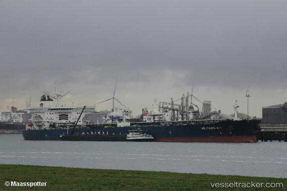
 TORX
TORX
Current Status
Where is the vessel?
TORX is currently in 16 nm N of RUMELI FENERI, based on AIS data received less than 1h ago.
Latest AIS update:
Current position: 41.48930° N, 29.05605° E (16 nm N of RUMELI FENERI)
Average speed (last 7 days): Loading…
Average speed (last 30 days): Loading…
Vessel profile: TORX is a Crude Oil Tanker with dimensions m x m.
This page combines live AIS, route history, probable destination signals, nearby traffic, and port activity for practical vessel monitoring.
The current position of vessel TORX is 41.48930 lat / 29.05605 lng. Updated: 2026-05-15 18:17:05 UTCNearest reference points:
- Near RUMELI FENERI
- 19 nm NE of RUMELI FENERI
- 18 nm N of Istanbul New Airport
Currently sailing under the flag of Panama ![]()
Details:
Live Vessel TORX Analytics (details, animations, etc.)
Recent AIS points (UTC):
2026-05-15 14:00:33 UTC · 41.45017, 29.06375 · SOG 6.4 kn · COG 275°2026-05-15 16:11:15 UTC · 41.46830, 29.01960 · SOG 1.1 kn · COG 21°
2026-05-15 17:03:26 UTC · 41.47772, 29.03260 · SOG 1 kn · COG 44°
2026-05-15 18:17:05 UTC · 41.48930, 29.05605 · SOG 1 kn · COG 39°