 vesseltracker.com
 DINASTY
Current Status
Where is the vessel?
DINASTY is currently in 112 nm W of Abakaliki, based on AIS data received about 1d ago.
Latest AIS update:
Current position: 5.84137° N, 84.18397° E (112 nm W of Abakaliki)
Average speed (last 7 days): Loading…
Average speed (last 30 days): Loading…
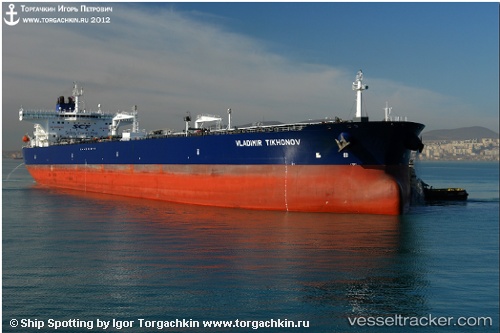
Vessel profile: DINASTY is a Crude Oil Tanker with dimensions m x m.
This page combines live AIS, route history, probable destination signals, nearby traffic, and port activity for practical vessel monitoring.
The current position of vessel DINASTY is 5.84137 lat / 84.18397 lng. Updated: 2026-05-12 20:43:55 UTCNearest reference points:
- 127 nm W of Abakaliki
- 46 nm SW of Abakaliki
- 79 nm E of Konwelana
Currently sailing under the flag of Oman ![]()
Details:
Live Vessel DINASTY Analytics (details, animations, etc.)
Recent AIS points (UTC):
2026-05-12 20:43:55 UTC · 5.84137, 84.18397 · SOG 12.7 kn · COG 90°2026-05-12 20:43:55 UTC · 5.84137, 84.18397 · SOG 12.7 kn · COG 90°
2026-05-12 20:43:55 UTC · 5.84137, 84.18397 · SOG 12.7 kn · COG 90°
2026-05-12 20:43:55 UTC · 5.84137, 84.18397 · SOG 12.7 kn · COG 90°