 vesseltracker.com
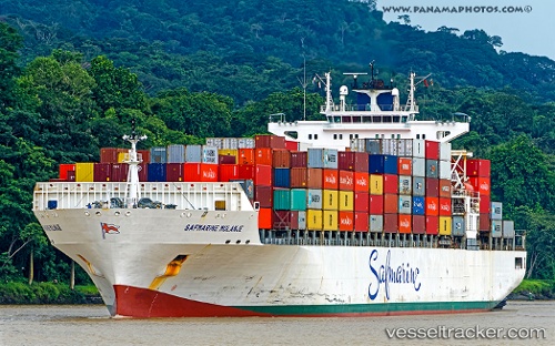
 MAERSK KANSAS
Current Status
Where is the vessel?
MAERSK KANSAS is currently in Near Morgan Point, based on AIS data received less than 1h ago.
Latest AIS update:
Current position: 29.68114° N, 94.99950° W (Near Morgan Point)
Average speed (last 7 days): Loading…
Average speed (last 30 days): Loading…
Vessel profile: MAERSK KANSAS is a Container Ship with dimensions 292m x 292m.
This page combines live AIS, route history, probable destination signals, nearby traffic, and port activity for practical vessel monitoring.
The current position of vessel MAERSK KANSAS is 29.68114 lat / -94.99950 lng. Updated: 2026-05-18 07:23:45 UTCNearest reference points:
- Near Morgan Point
- Near Shoreacres
- Near Clear Lake Shores
Currently sailing under the flag of United States of America ![]()
MAERSK KANSAS built in 2007 year
Deadweight:
61447 tDetails:
Live Vessel MAERSK KANSAS Analytics (details, animations, etc.)
Recent AIS points (UTC):
2026-05-18 04:08:43 UTC · 29.68115, -94.99945 · SOG 0 kn · COG 81°2026-05-18 04:50:45 UTC · 29.68113, -94.99948 · SOG 0 kn · COG 81°
2026-05-18 05:35:55 UTC · 29.68113, -94.99949 · SOG 0 kn · COG 81°
2026-05-18 07:23:45 UTC · 29.68114, -94.99950 · SOG 0 kn · COG 81°