 vesseltracker.com
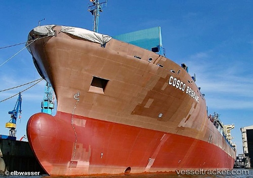
 DORIS OCEAN
Current Status
Where is the vessel?
DORIS OCEAN is currently in 89 nm S of Hwasun, based on AIS data received less than 1h ago.
Latest AIS update:
Current position: 31.78633° N, 125.94510° E (89 nm S of Hwasun)
Average speed (last 7 days): Loading…
Average speed (last 30 days): Loading…
Vessel profile: DORIS OCEAN is a Container Ship with dimensions m x m.
This page combines live AIS, route history, probable destination signals, nearby traffic, and port activity for practical vessel monitoring.
The current position of vessel DORIS OCEAN is 31.78633 lat / 125.94510 lng. Updated: 2026-05-14 21:12:03 UTCNearest reference points:
- 94 nm S of Hwasun
- 66 nm S of Hwasun
- 75 nm S of Hwasun
Currently sailing under the flag of Liberia ![]()
Details:
Live Vessel DORIS OCEAN Analytics (details, animations, etc.)
Recent AIS points (UTC):
2026-05-14 17:30:34 UTC · 31.23432, 124.82464 · SOG 19.3 kn · COG 77°2026-05-14 19:10:53 UTC · 31.42554, 125.37729 · SOG 18 kn · COG 56°
2026-05-14 19:45:33 UTC · 31.52064, 125.54718 · SOG 18 kn · COG 55°
2026-05-14 21:12:03 UTC · 31.78633, 125.94510 · SOG 17.6 kn · COG 51°