 vesseltracker.com
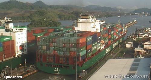
Xin Ying Kou
Current StatusWhere is the vessel?
Xin Ying Kou is currently in 55 nm NW of Port Clements, based on AIS data received about 1h ago.
Latest AIS update:
Current position: 54.33428° N, 133.26437° W (55 nm NW of Port Clements)
Average speed (last 7 days): Loading…
Average speed (last 30 days): Loading…
Vessel profile: Xin Ying Kou is a Container Ship with dimensions 32m x 263m.
This page combines live AIS, route history, probable destination signals, nearby traffic, and port activity for practical vessel monitoring.
The current position of vessel Xin Ying Kou is 54.33428 lat / -133.26437 lng. Updated: 2026-05-14 20:00:57 UTCNearest reference points:
- 15 nm N of Port Clements
- Near Queen Charlotte
- Near Ward Cove
Details:
Live Vessel Xin Ying Kou Analytics (details, animations, etc.)
Recent AIS points (UTC):
2026-05-14 16:40:32 UTC · 54.44773, -134.68903 · SOG 14.6 kn · COG 100°2026-05-14 18:12:53 UTC · 54.39158, -134.02161 · SOG 15.3 kn · COG 101°
2026-05-14 19:58:32 UTC · 54.33396, -133.28238 · SOG 15.7 kn · COG 91°
2026-05-14 20:00:57 UTC · 54.33428, -133.26437 · SOG 15.6 kn · COG 90°